United
Nations
Office for Outer Space Affairs
UN-SPIDER Knowledge Portal

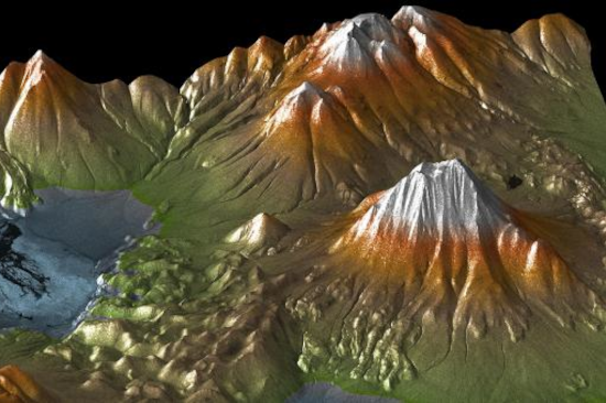
Tsunamis, storm surges and sea level rise are critical coastal hazards influenced by the coastal landform and elevations. Therefore, elevation data play a crucial role in determining the potential impact of these hazards and provide the basis for developing early warning systems. As in the case of bathymetry, space observation offers elevation data at a lower cost than airborne or ground surveys.
Image from DAotM on DEM: https://www.un-spider.org/links-and-resources/data-sources/daotm-elevation