The Platform for Real-Time Impact and Situation Monitoring (PRISM), developed by the World Food Programme (WFP) since 2016, is a climate risk monitoring system, that integrates geospatial data on hazards along with information on the socioeconomic vulnerability. The platform is designed to inform disaster risk reduction and social assistance programmes.
Access to the latest data and information on climate hazards and vulnerable people is critical for decision-makers to mitigate risks. However, access and the capacity to use this information is challenging as expertise in remote sensing is not widespread and data on vulnerability is difficult to obtain promptly. This leaves decision-makers with information that comes too late, does not capture the full breadth of a risk analysis, or needs to be communicated effectively to ensure its utilization.
With the PRISM application, WFP aims to enable its partners in government and in its country offices to access the latest available climate hazard information together with vulnerability data through a map-based dashboard interface. This is done by combining information from satellites and other remote sensing sources with data on vulnerability, creating actionable climate information for decision-makers.
The platform is designed to improve the utilization of data, which is available but not fully accessible, particularly in low and middle-income countries. This is especially true of Earth Observation data which typically requires specialized skills and technology infrastructure to make it useful for practitioners.
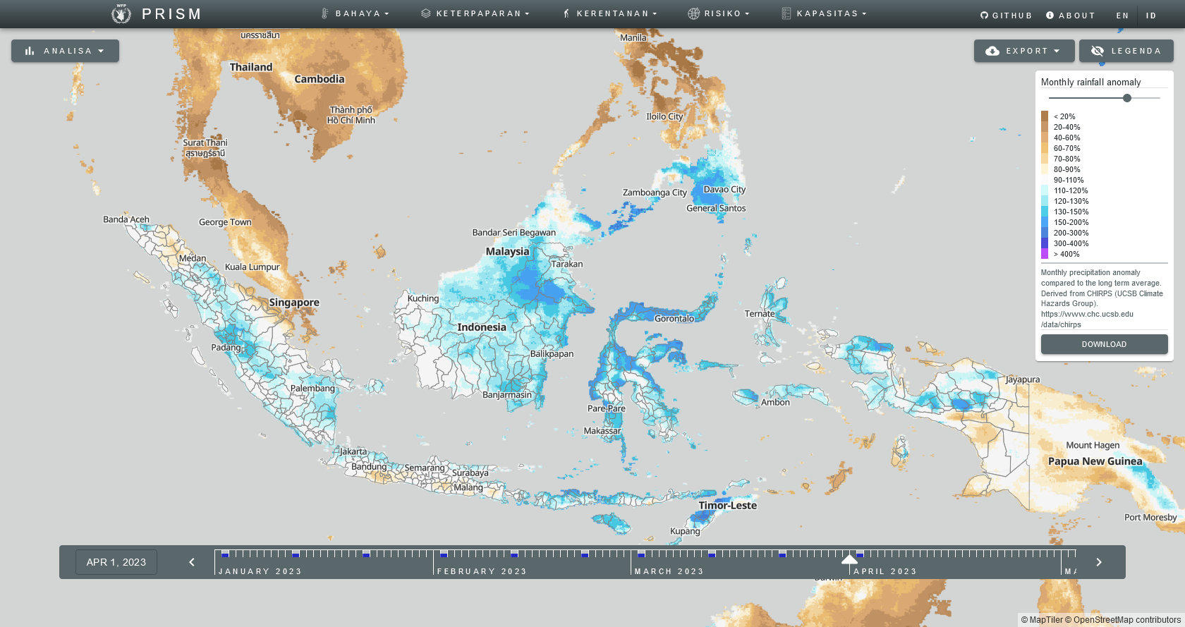
PRISM visualizes Earth Observation data, including satellites and sensors on the ground. This includes measurements of vegetation conditions, levels of precipitation, and temperatures. The system can generate climate risk monitoring indicators and risk and impact analytical products adapted for each hazard and the populations at risk to them.
PRISM mitigates the impact of climate-driven hazards by presenting decision-makers with the most up-to-date risk and impact analytics available.
In the case of slow-onset disasters like droughts, PRISM provides decision-makers with an overview of current conditions and how they differ from long-term averages. It combines this information with data on vulnerable groups. This can then be used to highlight areas at risk and to inform potential early actions to mitigate the impact of a disaster. When an acute disaster strikes, such as a tropical storm, PRISM can rapidly produce statistics on the number of people potentially exposed to damaging wind speeds.
More information can be accessed here.