UN-SPIDER assembled a team of experts from Latin America who focus their work on the use of space-based applications for various activities including the topic of disasters triggered by natural hazards.
The Technical Advisory Mission was conducted by the following experts:
Mr. Juan Carlos Villagran de Leon, UN-SPIDER and head of the mission to Honduras;
Mr. Julio César Castillo Urdapilleta, Mexican Space Agency (AEM);
Mr. Benito Orozco Serna, Mexican Space Agency (AEM);
Mr. Jesus Gonzalez Bernal, Regional Centre for Space Science and Technology Education
for Latin America and the Caribbean (CRECTEALC);
Mrs. Silvia Pardi Lacruz, Federal University of Santa Maria, Brazil;
Mr. Hector Mauricio Ramirez, Agustin Codazzi Geographic Institute (IGAC), Colombia;
Mr. Marcelo Oyuela, Water Centre for the Humid Tropics of Latin America and the Caribbean (CATHALAC).
The mission team benefited from the support of the engineers Yolanda Fletes and Lenin Díaz, who work at COPECO.
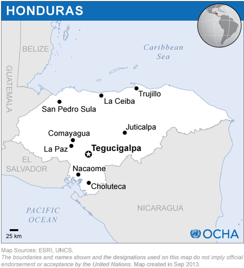
The Mission included visits to 12 institutions, including government entities, regional and international organizations and the Autonomous University of Honduras.
The Mission was used to focus on three specific outcomes:
· To provide COPECO and the members of the Inter-Agency Drought Panel as well as different institutions a series of satellite images and maps of the Vegetation Condition Index (VCI) developed by UN-SPIDER to contribute to the efforts that COPECO and the Panel conduct in the Dry Corridor related to the severe drought that is affecting the this region of the country;
· To provide the members of the Inter-Agency Drought Panel information regarding the application developed by UN-SPIDER using the open software called ”R” to process composite products based on MODIS satellite imagery for the generation of VCI maps;
· To facilitate the link between the staff engaged in the National Emergency Operations Centre (COEN) and the International Charter Space and Major Disasters, through the National Commission on Space Activities of Argentina (CONAE).
The mission took note that COPECO is recognized as the leading national institution regarding processes associated with disaster risk management. COPECO has the technical strengths and human resources which allow it to lead inter-institutional commissions regarding the topics related to its mandate.
The mission also noted the progress made by various institutions in Honduras to make better use of geospatial information through the establishment of the Interagency Commission of Spatial Data (CIDES), the establishment of the National Spatial Data Infrastructure (INDES), the elaboration of norms to manage metadata and a systematized inventory of layers of geospatial data and information. Moreover, COPECO recently established a cooperation agreement with the United Nations Development Programme (UNDP) in Honduras regarding the implementation of a drought monitoring system that makes use of satellite imagery and in-situ data.
One of the most interesting advances identified by the experts taking part in this mission of UN-SPIDER was the establishment of CIDES and the efforts undertaken to implement INDES. Government offices in charge of CIDES acknowledged that a national spatial data policy has been designed as a way to establish the INDES in Honduras in order to facilitate access to and the exchange of data among multiple institutions.
The mission noticed that there exists a goodwill to confront the challenges posed by natural hazards through inter-institutional efforts including the Inter-institutional Drought Risk Management Committee (CTIGRS) and the Technical Drought Panel; the mission also recognized the capacity of various government institutions to mobilize international cooperation; as well as the good attitude, enthusiasm, leadership and commitment of young people regarding the generation of spatial information for decision-making and that they are conscious of the needs and confront them seriously. Accordingly, the ongoing training of these young people with international support is seen as a critical element which will help Honduras generate the knowledge and the tools which are necessary to face the problems.
Based on their observations, the team of experts proposed a number of recommendations that aim to institutionalize the generation and use of space-based information during all phases of the disaster management cycle. The most important recommendation is the implementation of a policy focusing on the generation and use of geospatial information, including space-based information, in the planning processes that COPECO, the Secretariats and other institutions of the State carry out with regard to disaster risk management. This policy should contribute to institutionalise the use of geospatial information which in turn will allow these institutions to fulfil their mandates.
The experts suggested several strategies to implement this policy, including:
· The use of opportunities offered by the space community in terms of open access to data, satellite imagery and products free of charge to generate relevant and pertinent information;
· To complete the establishment of the National Integrated System for Disaster Risk Management and Territorial Studies (SIGRET);
· To adopt the CIDES and the Panel of the Experts for Drought as examples for inter-institutional groups of professionals in charge of generating geospatial information for the decision-making process;
· Strengthen the skills of professionals and staff which work in government institutions affiliated to CIDES regarding to generation and use of space-based information;
· Establish a department or a unit within COPECO which focuses its efforts on geographic information systems and satellite information.