United
Nations
Office for Outer Space Affairs
UN-SPIDER Knowledge Portal

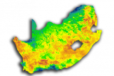
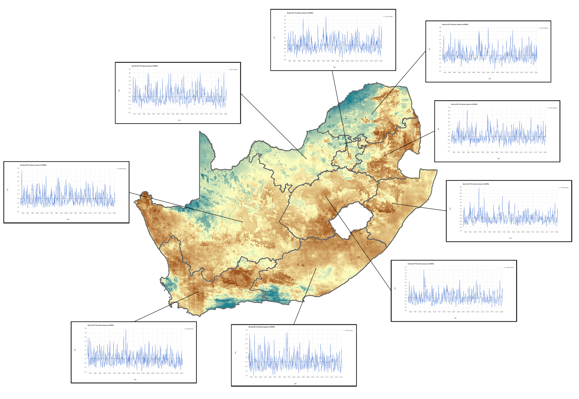
The purpose of this recommended practice is to monitor precipitation anomalies giving the possibility to analyse past drought events and recent rainfalls.
Since 2018 several countries in southern Africa are facing an ongoing drought. As a result, crop- and livestock farmers had to face losses. Giving farmers, authorities and insurances information about the spatial distribution of drought like conditions and its severity might help to mitigate financial losses and anticipate the region-specific aid.

The methodology as such can be applied globally. However, the SPI values might give missleading information if the timescale for the SPI calculation is set too short due to natural fluctuations of precipitation.
Neither UN-SPIDER nor the Regional Support Offices (RSOs) or their partners take any responsibility for the correctness of outputs from this recommended practice or decisions derived as a consequence.