Gabon

country taxonomy block

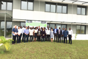
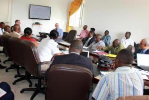
At the invitation of the Government of the Republic of Gabon, UNOOSA successfully organized a Technical Advisory Mission (TAM) to Libreville from 7 to 11 December 2015.

A team of five experts from UNOOSA, UNEP, GEO Secretariat, RECTAS and Germany, also supported locally by the representative of the ESA and CNES in Gabon, have met with staff of the Ministries of Interior, Public Security and Immigration, Infrastructure, Habitat and Planning, Health, Defence, Energy and Hydraulic Resources, the Gabonese Petroleum Products Enterprise as well as the Gabonese Space Agency AGEOS, the Gabon Red Cross and the General Direction of Civil Protection (DGPC), to assess the use of space technologies in disaster management in the countries as well as the related needs and gaps. Field visits were also organized to the AGEOS Direct Satellite Receiving Station and to the ESA Tracking and Telemetry Satellite Station near Libreville.

A national workshop with about 45 participants from all…

more
Publishing date 11/01/2016

At the invitation of the Government of Gabon, and in connection with the upcoming GEO-XI Plenary in Gabon, UNOOSA (through the UN-SPIDER Programme) is tentatively planning to conduct a Technical Advisory Mission (TAM) to Gabon from 4 to 7 November 2014.

UN-SPIDER is therefore seeking four to six qualified international experts from the space- and Disaster Management communities who would be interested to volunteer for participating in this Mission, if confirmed.

Priority will be given to experts with good relevant knowledge of the region and in particular of Gabon, and to those who will be participating at the GEO Plenary as well, in order to minimize travel costs. If still required, UN-SPIDER could consider sponsoring travel and accommodation expenses for the duration of the TAM only.

Interested candidates should ideally have good expertise in various areas of disaster preparedness and…

more
Publishing date 31/07/2014

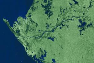
The aim of the workshop was to build capacity in processing and analyzing the SAR imagery in East Africa and Southern African Development Community (SADC) countries. It was attended by 17 participants from Rwanda, Cote d'Ivoire, Senegal, Tunisia, Morocco, Kenya, Ghana, Nigeria and Gabon.  Synthetic aperture radar (SAR) is an active form of remote sensing that does not rely on the sun to acquire images. It has applications in different disciplines from disaster management, weather monitoring to maritime surveillance and others.  SAR experts from NASA, DLR and SAREDU Initiative provided specific lectures and hands-on training, thanks to which the participants learned about the SAR applications in flood mapping, land cover mapping, agriculture, ship detection, oil spills detection and tracking illegal fishing. 

The event was supported by UN-SPIDER, the Copernicus Programme, ESA and CEOS Working Group on Capacity Development and Data Democracy (WGCapD).

more