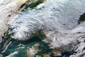
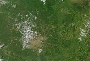
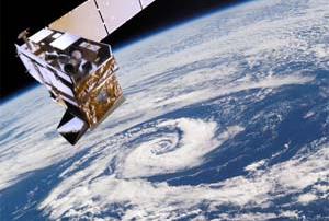
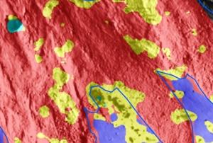
A new programme aims to prevent and countermand the loss of tropical forests by facilitating the global availability of high-resolution satellite imagery. Launched by Norway’s Ministry of Climate and Environment in partnership with satellite imagery providers Kongsberg Satellite Services, Planetand Airbus, the Imagery Programme makes use of space-based information to combat the devastating effects of climate change, mitigate disasters and facilitate disaster management efforts worldwide.
Trees are vital for upholding an environmental equilibrium and deforestation causes a disruption with devastating effects on our climate. Meaningfully, the positive correlation between deforestation and global warming is widely recognized. The impact of deforestation on the environment can be…
more