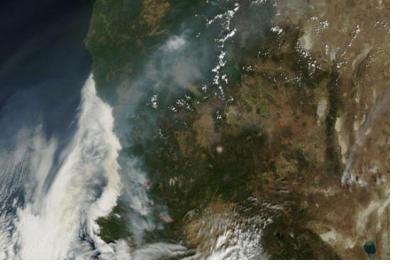
ESRI has developed two interactive maps for wildfire monitoring in the Western coast of the United States, which can be shared and embedded into the end users' websites: the Wildfire Public Information Map and the 2015 California Wildfire Activity Map.
The first one offers updated data on wildfires (locations, perimeters, fire potential areas, global burn areas, wind conditions, and precipitation) from several agencies, such as the USDA Forest Service, Fire Modeling Institute of the US Geological Survey. Moreover, it provides weather information from the National Oceanic and Atmospheric Administration (NOAA) and AccuWeather.
The second one is used for tracking fires in California with up to date statistics from the National Interagency Fire Center (NIFC) Situation Report.
You can embed both maps into your website with the following codes:
-Wildfire Public Information Map:
<iframe width="100%" height="640px" src="http://www.arcgis.com/apps/PublicInformation/index.html?appid=4ae7c683b9574856a3d3b7f75162b3f4" frameborder="0" scrolling="no"></iframe>
- California Wildfire Activity Map:
<iframe width="100%" height="800px" src="http://disasterresponse.maps.arcgis.com/apps/MapJournal/index.html?appid=f9b70e3782ba43ba9d8d54667607a2cd" frameborder="0" scrolling="no"></iframe>

