![]()
United
Nations
Natural Earth basemap data at various extents
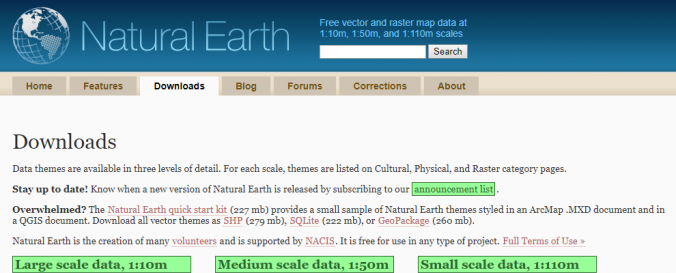
| Data provided by: | Natural Earth |
| Data accessibility: | Exportar datos |
| Link to the data: | |
| File type: | GDAL Raster, GeoTIFF, shp, shp, shp |
| Data type: | Línea base, Datos sobre el use suelo, cobertura del terreno |
| Disaster cycle phase: | Gestión des Riesgo por Desastres, Respuesta, Recuperación |
| Spatial coverage: | Global |
| Spatial resolution: | 10m, 50m, 110m |
| Costs: | Gratis |
| Restrictions/ Citation of the dataset: | All versions of Natural Earth raster + vector map data found on the Natural Earth website are in the public domain. You may use the maps in any manner, including modifying the content and design, electronic dissemination, and offset printing. The primary authors, Tom Patterson and Nathaniel Vaughn Kelso, and all other contributors renounce all financial claim to the maps and invites you to use them for personal, educational, and commercial purposes. No permission is needed to use Natural Earth. Crediting the authors is unnecessary. |
Provider
![]()