![]()
United
Nations
TanDEM-X - Digital Elevation Model (DEM) - Global, 90m (DLR)
| Data provided by: | German Aerospace Center (DLR) |
| Data accessibility: | Exportar datos |
| Link to the data: | |
| Data type: | Elevación |
| Hazard: | Earthquake |
| Disaster cycle phase: | Gestión des Riesgo por Desastres |
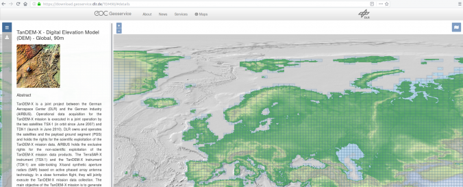
| Space-based Information: | The accuracy of the TanDEM-X 90m DEM relates to the TanDEM-X 12m (0.4 arcsec) DEM products from which it has been derived. For the 12m DEM: the Absolute horizontal and vertical accuracy is below 10m. The relative vertical accuracy expressed as linear errors at 90% confidence level (LE90) for slopes at or below 20% at 2m, and for slopes above 20% at 4m. The TanDEM-X 90m DEM product is delivered in a compressed ZIP (*zip) format. Each zip file contains a main folder, which contains basically the meta data of the product in XML (*.xml) format. In the main folder there are 3 subfolders: DEM: The DEM raster layer AUXFILES: The 7 information raster layer PREVIEW: All quicklook raster and KML files |
| Satellites and Sensors: | TanDEM-X |
| Spatial coverage: | Global |
| Spatial resolution: | 90 |
| Temporal coverage: | Archivado |
| Content dates: | 2010-2015 |
| Technical Specifications: | |
| Costs: | Gratis |
| Contact: | Geoservice DLR Contact |
| Restrictions/ Citation of the dataset: |
Provider
![]()