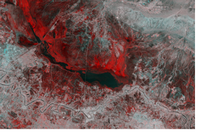
On 3 April, the Sentinel-1A satellite completed five years of activity. Launched in 2014, the satellite works in coordination with Sentinel-1B, launched in 2016. For five years, they have delivered a wealth of data and imagery that are central to Europe’s Copernicus programme.
By offering a set of key information services for a broad range of applications, this global monitoring programme makes a step change in environmental management, with the aims to better understand and tackle the effects of climate change and natural hazards.
As a constellation of two satellites orbiting 180° apart, the mission images the entire Earth every six days. As well as transmitting data to a number of ground stations around the world for rapid dissemination, Sentinel-1 carries an advanced radar instrument to provide an all-weather, day-and-night supply of imagery of the Earth’s surface, and a laser to transmit data to the geostationary European Data Relay System for continual data delivery.
Sentinel-1 is the result of close collaboration between the European Space Agency (ESA), the European Commission, industry, service providers and data users. Its special design focuses on reliability, operational stability, global coverage and quick data delivery.
After five years of operations, the mission still benefits numerous services. Among these, services that relate to the monitoring of Arctic sea-ice extent, routine sea-ice mapping, surveillance of the marine environment, including oil-spill monitoring and ship detection for maritime security, monitoring land-surface for motion risks, mapping for forest, water and soil management and mapping to support humanitarian aid and crisis situations.
The Copernicus Emergency Management Service aims to reinforce Europe’s capacity to respond to emergency situations caused by extreme weather, geophysical hazards, such as earthquakes, or manmade disasters such as oil spills and humanitarian crises.
The C-band synthetic aperture radar on Sentinel-1 can provide images with a resolution of 10m and within hours of acquisition to aid emergency response. This imagery can be used for precise terrain deformation monitoring over landslide, seismic or subsidence areas by providing regular and frequent interferometric observations.
In particular, the two Copernicus Sentinel-1 satellites radar instruments allow imaging the Earth’s surface even through clouds and rain or in the dark. This capability is particularly useful for monitoring and mapping floods.

