![]()
United
Nations
Aqueduct Global Flood Risk Maps (WRI)
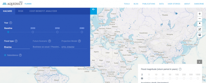
| Data provided by: | World Resources Institute (WRI) |
| Data accessibility: | Exportar mapa |
| Link to the data: | |
| Data type: | Datos sobre amenazas específicas |
| Hazard: | Flood |
| Disaster cycle phase: | Gestión des Riesgo por Desastres |
| Spatial coverage: | Global |
| Temporal coverage: | Archivado, Prognosticado |
| Technical Specifications: | |
| Costs: | Gratis |
| Restrictions/ Citation of the dataset: |
Provider
![]()