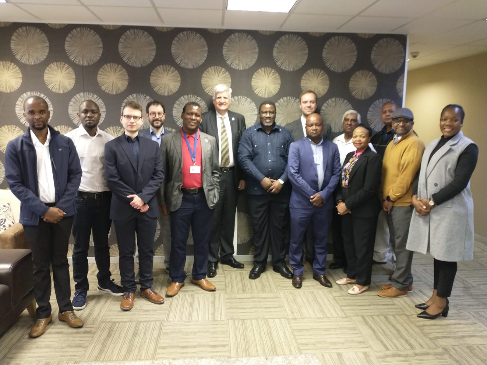
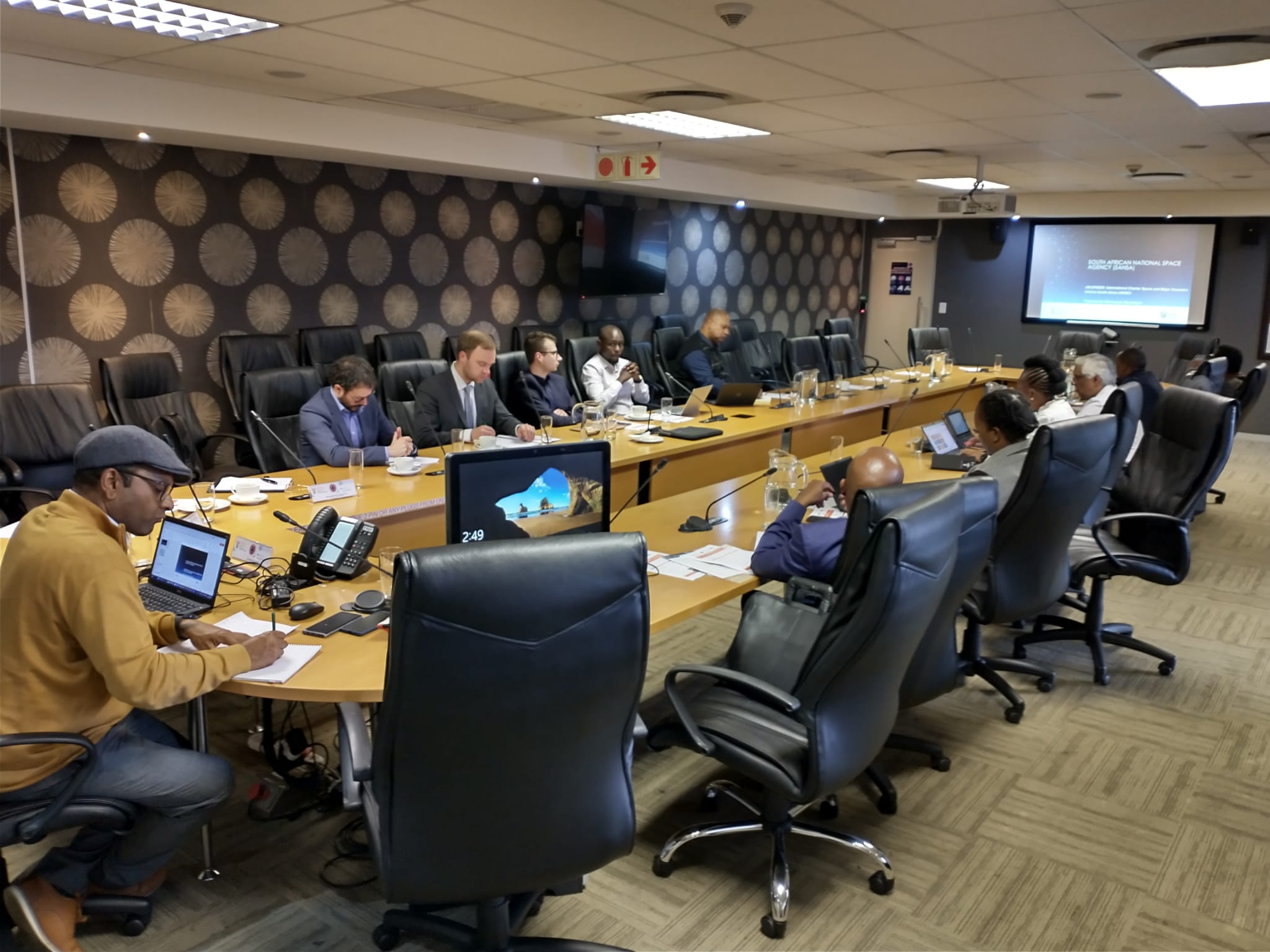
UN-SPIDER, the National Disaster Management Centre of South Africa (NDMC), and the Centre for Remote Sensing of Land Surfaces (ZFL) of the University of Bonn organized a three-day interinstitutional workshop in Pretoria, from 9 to 11 May 2023. The “Space-based Solutions for floods and droughts in Southern Africa" workshop was part of UN-SPIDER's mission to South Africa and contributes to the efforts conducted by the NDMC and UN-SPIDER in the topics of disaster risk reduction, preparedness, and early warning systems.

The interinstitutional workshop's aims were:
- To take stock of efforts conducted by risk and disaster management institutions in Southern African countries on the use of space technologies and space-based information in disaster risk management, preparedness, response and recovery efforts;
- To provide continuity to the efforts conducted by UN-SPIDER and its partners in Africa;
- To raise awareness regarding novel applications of satellite technologies in hazard mapping, early warning systems, and disaster response operations; including the Global Flood Awareness System (GLOFAS) and the Global Drought Observatory (GDO) of the Copernicus Programme;
- To raise awareness regardingthe UN-SPIDER Recommended Practices for flood mapping using Sentinel 1 radar imagery;
- To advance the implementation of the Flood-GUIDE project in South Africa;
- To discuss the overarching topics of climate change in Africa with special emphasis of the contribution of space-based technologies to mitigate the impact and enhance adaptation to climate change and land degradation utilising innovative monitoring and analysing tools.
The workshop brought together around 25 experts from South Africa, including experts and professionals engaged in disaster-risk management, preparedness, and early warning systems in South Africa, technical staff from the Regional Disaster Management Centres, experts from regional and international organizations active in Southern Africa and experts in universities and research centres engaged in disaster-risk management, preparedness and early warning using space technologies.
Furthermore, the workshop allowed participants to become able to use GloFAS, GDO and UN-SPIDER Recommended Practices for flood mapping, as well as to advance in the implementation of the Flood GUIDE project in South Africa.


