
A powerful earthquake off Russia’s Kamchatka Peninsula in July 2025 has provided scientists with new observations of how tsunamis form near their source. Using data from a new generation satellite, researchers identified wave patterns that had previously been difficult to detect, offering additional detail on how undersea earthquake activity leads to tsunami formation.
Capturing the 2025 Kamchatka Earthquake from Space
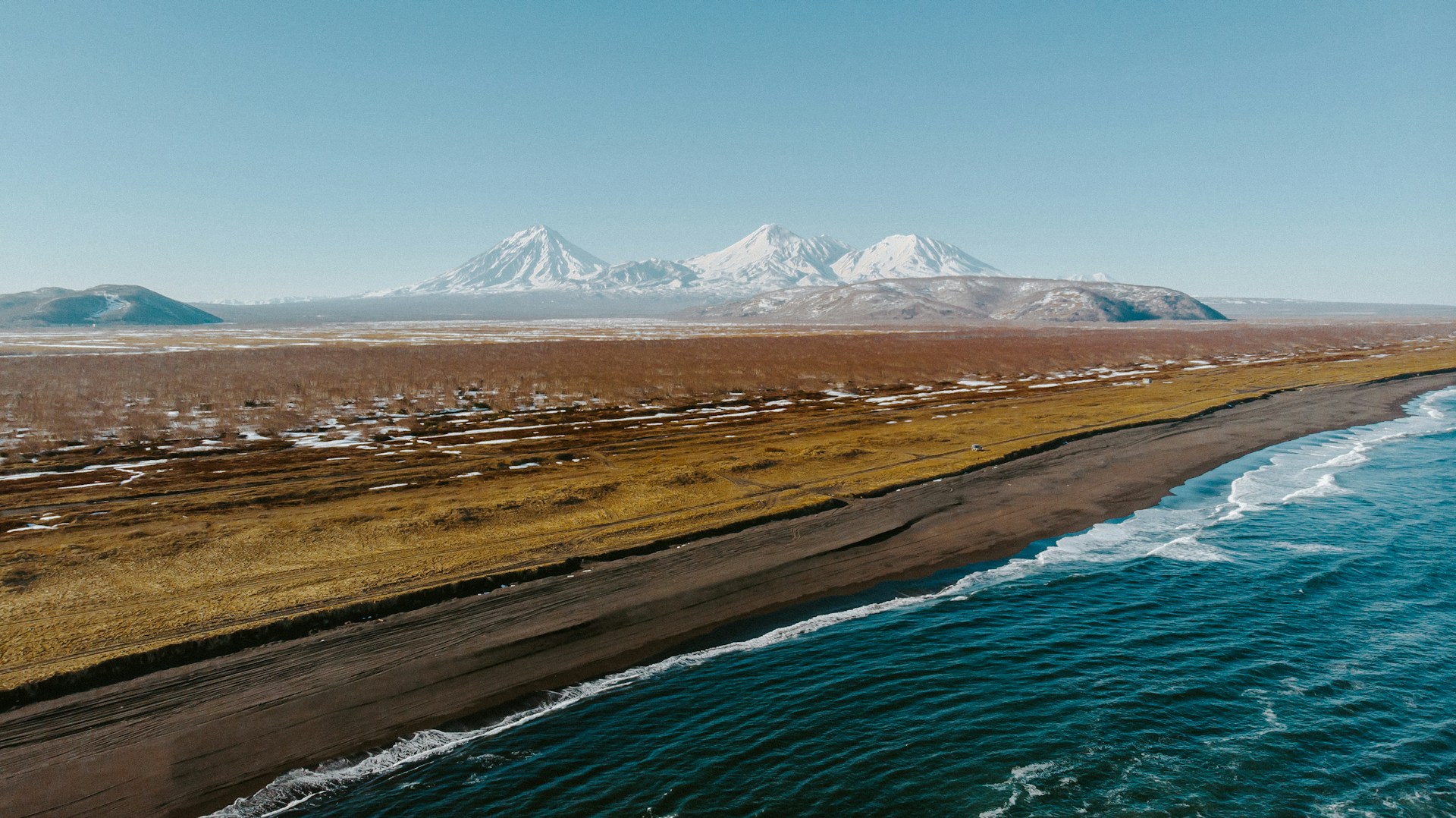
On 29 July 2025, a magnitude 8.8 earthquake struck off the Kamchatka Peninsula, generating a tsunami that spread across the Pacific Ocean. In the Russian coastal town of Severo-Kurilsk, wave heights exceeded 17 metres. An international research team led by San Diego State University, with contributions from scientists at the Scripps Institution of Oceanography, analysed the event using observations from the Surface Water and Ocean Topography (SWOT) satellite. The results of the study were published in the journal Science.
Analysis of the recorded wave patterns near the earthquake source enabled the researchers to determine that the rupture extended to within approximately 10 kilometres of the ocean trench along the Kamchatka subduction zone. Ocean trenches, where tectonic plates converge, are central to tsunami generation but have historically been difficult to monitor using conventional observation systems.
Addressing Observational Limitations in Tsunami Monitoring
Monitoring systems for tsunamis rely on coastal tide gauges and deep-ocean pressure sensors known as DART systems (Deep-ocean Assessment and Reporting of Tsunamis). These instruments form a key part of early warning systems but provide measurements at individual locations that are often widely spaced. As a result, they offer limited insight into the overall structure of tsunami waves and make it challenging to reconstruct the movement of the seafloor during an earthquake. Satellite altimeters have also been used for tsunami observation, although traditional instruments collect data along narrow ground paths, restricting their ability to capture broader wave structures.
This results in a gap in observations in subduction zones, where one tectonic plate moves beneath another. The trench marks the shallowest part of the fault and plays an important role in tsunami generation, yet it remains one of the most difficult areas to observe with existing technologies.
A New Perspective from Wide-Swath Satellite Observations
The SWOT satellite, launched in 2022 as a joint mission between the United States and France, provides a broader view of the ocean surface than earlier systems. Its measurement system can map sea-surface height across swaths of up to 120 kilometres with high precision, allowing for more detailed observation of ocean dynamics. Approximately one hour after the Kamchatka earthquake, SWOT recorded the tsunami from orbit, capturing both the main wave and additional smaller waves that followed behind, known as dispersive waves.
These observed wave patterns provide information about how the earthquake rupture developed. When rupture occurs deeper within a fault, it produces long waves that move at comparable speeds. If the rupture reaches closer to the trench, shorter waves are generated that travel more slowly and trail behind the main wave. The presence of these dispersive waves in the observations indicates that the rupture extended towards the shallow part of the fault.
Improving Understanding of Tsunami Generation
The researchers found that the configuration of these trailing waves provided insight into earthquake slip near the trench. To further investigate this, they combined SWOT observations with satellite radar data on land deformation and measurements from deep-ocean sensors to construct a model of the event. The simulations showed that the observed wave structures could only be reproduced when both near-trench rupture and the behaviour of dispersive waves were taken into account.
The study also examined other recent events. Similar wave patterns had been identified by SWOT following earthquakes near the Loyalty Islands in 2023 and in the Drake Passage in 2025. These repeated observations suggest that such waves may occur more frequently than previously documented, and that earlier monitoring systems may not have been able to detect them.
Implications for Tsunami Observation and Modelling
The study demonstrates the role of wide-swath satellite measurements in observing tsunami wave structures near their source. By capturing these patterns, researchers are able to examine how earthquake rupture develops and incorporate these processes into tsunami models.
Advances in observation and modelling approaches contribute to more detailed assessments of tsunami hazards. As satellite capabilities continue to develop, they are expected to support ongoing efforts to better characterise tsunami behaviour and the processes involved in their generation. Eventually, improved obeservations enhance modeling, which may in the future contribute to better planning and preparedness for communities that face tsunami risks.
Read the original article here: https://www.preventionweb.net/news/new-satellites-observations-close-blind-spot-tsunami-science?utm_source=PreventionWeb+Newsletter&utm_campaign=d3d79f4df4-PreventionWeb+Newsletter%3A+news+and+blogs+%28weekly%29&utm_medium=email&utm_term=0_b73053c1c6-d3d79f4df4-516456546