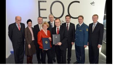
From the research stage to full operation – The Center for Satellite Based Crisis Information (ZKI) is now on call around the clock. This service facility established in 2004 provides up-to-the minute satellite-based maps for activities related to natural and environmental disasters, humanitarian aid, and civil security worldwide. It is a service of DLR’s German Remote Sensing Data Center. On 22 January 2013 DLR in cooperation with the Federal Ministry of the Interior (BMI) officially launched regular ZKI operations.
"Civilian earth observation satellites, like our TerraSAR-X and TanDEM-X radar satellites, continuously supply data of a quality which makes possible entirely new applications. For example, oil films on the ocean, flooded areas, slope collapse and damage to buildings can be mapped from space. ZKI provides these services for institutions like the Federal Office of Civil Protection and Disaster Assistance, Germany's disaster aid organization THW, and the German Red Cross", according to Prof. Johann-Dietrich Wörner, chairman of the DLR executive board.
In this way, ZKI meets long term the growing need of public authorities for timely geoinformation, especially in the areas of civil protection and emergency services. The satellite-based maps generated for these purposes are made available to the public free of charge.

