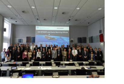
On 26 June 2013, the UN-SPIDER Programme wrapped up a two-day expert meeting focusing on space-based applications in Early Warning Systems. Taking into consideration the role of early warning systems in minimizing damages and losses in case of disasters, UN-SPIDER co-organized the meeting with the Government of Germany and the German Aerospace Center (DLR); with the support of Secure World Foundation (SWF) and the German Federal Office of Civil Protection and Disaster Assistance (BBK). The Expert Meeting brought together fifty two space technology and disaster management experts representing national, regional and international organizations, internationally active private companies and included representatives of UN-SPIDER Regional Support Offices.
The goal of the meeting was to share experiences and lessons learned regarding use of space-based information in early warning systems; to identify needs and to discuss knowledge management strategies to improve existing early warning systems through the incorporation of recent advances in space-based applications.
The Expert Meeting included key-note presentations on behalf of DLR, SWF and UN-SPIDER and presentations dealing with early warning systems, space-based applications and geo-spatial tools and techniques. Topics covered Flood Early Warning in the Philippines, Risk Assessment efforts in the context of the Indian Ocean Tsunami Early Warning System, FAO's Agriculture Stress Index, GIS Platforms, Early Warning Systems in Eastern and Southern Africa, and Early Warning System for Wildland Fires.
Using the modality of break-out groups, the Expert Meeting was used to discuss three main issues:
- The use of space-based applications to monitor and forecast potentially catastrophic events;
- The use of space-based applications to improve risk assessment and dissemination of warnings;
- Ways to enhance synergies at the global, national and local levels concerning the generation, access to and use of geo-spatial information; ways to integrate Earth Observation data, satellite-assisted navigation and positioning data, and ground based data using geographic inforamtion systems and communications.
The Expert Meeting concluded with a plenary discussion regarding strategies to promote the use of space-based applications in early warning systems and ways to implement such strategies.

