![]()
United
Nations
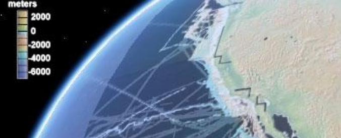
Global Multi-Resolution Topography (GMRT) - Sonar Seafloor Bathymetry (MGDS-LDEO)
| Data provided by: | Marine Geoscience Data System (MGDS) |
| Data accessibility: | Exportar datos, Exportar mapa |
| Link to the data: | |
| Data type: | Elevación |
| Disaster cycle phase: | Gestión des Riesgo por Desastres |
| Space-based Information: | Airborne Information, Marine surveys systems |
| Satellites and Sensors: | Terra (ASTER) |
| Spatial coverage: | Global |
| Spatial resolution: | 10.00 |
| Technical Specifications: | |
| Costs: | Gratis |
| Contact: | Contact MGDS |
| Tutorials on the use of data: | MGDS Search Help, Database Tutorials and Help with GeoMapApp |
| Restrictions/ Citation of the dataset: |
Provider
![]()