• English
  • Español
  • Français

United
Nations


Office for Outer Space Affairs
UN-SPIDER Knowledge Portal

  • Inicio
  • Sobre nosotros
    • Sobre ONU-SPIDER
    • Acerca de UNOOSA
    • Publicaciones
    • Ofertas de trabajo
    • Conozca el Equipo
    • Contacto
  • Aplicación Espacial
    • Guías Tecnológicas
    • Mecanismos de Emergencia
    • Mecanismos de Recuperación
    • Red Internacional de Alerta de Asteroides
    • Grupo Asesor para la Planificación de Misiones Espaciales
    • Iniciativa Internacional sobre Meteorología Espacial
    • Tecnologías Espaciales en la ONU
    • Historias de Usuarios
  • Enlaces y Recursos
    • Aplicación de datos del mes
      • Disaster Recovery
    • Fuentes de Datos
    • SIG y Software de Percepción Remota
    • Recursos de capacitación en línea
    • Instituciones
  • Riesgos y Desastres
    • Gestión del Riesgo de Desastres
    • Alerta temprana
    • Gestión de Desastres y Emergencias
    • Amenazas Naturales
    • El Proceso de la Reducción de Desastres Post-2015
    • La ONU y la Gestión del Riesgo de Desastres
    • La ONU y Alerta Temprana
    • La ONU y la Gestión de Desastres
  • Asesoría
    • Misiones de Asesoría
    • Apoyo en caso de Emergencia
    • Asesoría Virtual
    • Prácticas Recomendadas
    • Actividades de Entrenamiento
    • Usos Prácticos
  • Redes
    • Oficinas Regionales de Apoyo
    • GP-STAR
    • IN-MHEWS
    • IWG-SEM
  • Proyectos
    • SPEAR
    • FOSAT-S
    • EvIDENz
    • Flood GUIDE
  • Noticias y Eventos
    • Noticias
    • Eventos
    • Eventos pasados

Breadcrumb

  • Home
  • CONAE Provides Maps To Fight Fires In The Andes
  • CONAE provides maps to fight fires in the Andes

CONAE provides maps to fight fires in the Andes

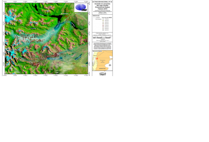
Spotlights Heat Map based on MODIS images for February 2015Spotlights Heat Map based on MODIS images for February 2015 (Image: CONAE)

The Argentinian National Space Activities Commission (CONAE), host to a UN-SPIDER Regional Support Office, is providing heat spotlight maps based on satellite images that show the environmental conditions of the Andean-Patagonian native forests, which is crucial information to mitigate the fires in the province of Chubut, Argentina.

The maps are based on data from NASA's Landsat, Terra and Aqua satellites. The data is downloaded to, and pre-processed in the Earth Station Space Center Teófilo Tabanera (CETT). After a quality check, the images are delivered to professional staff of Space Applications Consulting area in Early Alert and Response to Emergencies (CAEARTE), for processing and last preparations. Finally, all information is sent to the authorities responsible for the mitigation of emergency, such as the Technical Coordination of the National Fire Management Service.

The heat spotlights maps are produced on a daily basis by CONAE and are accessible online.
Latin American Geospatial Portal
Wed, 4 Mar 2015 - 11:31
Argentina
Argentina Regional Support Office

Footer menu

  • Contact
  • Terms of Use

User account menu

  • Log in