Dear readers,
We're glad to share with you the June 2020 UN-SPIDER Monthly Updates, and would like to make you aware of an upcoming UNOOSA online side event on "Space Technology for Resilience", which will take place on on 8 July 2020, 08:00 – 09:00 ET, New York, as part of the High-level Political Forum on Sustainable Development (HLPF). The event aims to increase awareness about space technology, share knowledge between existing initiatives and present practical examples of how UNOOSA and the international space community are supporting resilience-building efforts in response to the COVID-19 pandemic and beyond.
To register for the event, please use this form.
Enjoy the read!
UN-SPIDER at a glance
- 25/06/2020
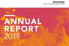
The United Nations Office for Outer Space Affairs (UNOOSA) has released its 2019 Annual Report. The 2019 report focuses on building resilience and highlights many projects and initiatives that UNOOSA engaged in during… Read more
- 08/06/2020
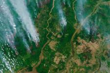
The head of the UN-SPIDER Bonn office and a visiting scientist from the Universidad Católica de Manizales conducted a webinar entitled “Introduction to Satellite Products and Services for the Management of Forest Fires” on 10 June. The aim of this webinar was to facilitate the use of space-based information for disaster management and emergency response, in particular to monitor and… Read more
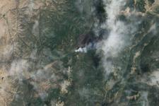
Satellite(s) and sensor(s) used:08/06/2020At the end of April and the beginning of May 2020, Peten, the northern province or department of Guatemala, experienced severe forest fires that forced Guatemala’s National Coordinating Agency for Disaster Reduction (CONRED) to request the activation of the International Charter Space and Major Disasters to map the geographical extent of the fires.
To support … Read more
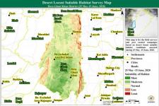
Country/Region mentioned:05/06/2020Regional Support Offices involved: International Water Management Institute (IWMI), Pakistan Regional Support OfficeOn 12 June, the United Nations Office for Outer Space Affairs (UNOOSA), through its UN-SPIDER programme, and the International Water Management Institute (IWMI) hosted a webinar on “Space-based inputs for locust early warning and preparedness” as a commitment to promote the use of space technologies in combating a crisis that is mounting on top of the COVID-19 pandemic.
The recording… Read more
News from our Regional Support Offices
- 17/06/2020
The Federal University of Santa Maria (UFSM) has become the newest member of the network of UN-SPIDER Regional Support Offices, which now consists of 24 institutions around the world. The agreement between the University and the United Nations Office for Outer Space Affairs (UNOOSA) was signed on 27 May 2020 and is valid for three years… Read more
Country/Region mentioned: - 09/06/2020Regional Support Offices involved: International Centre for Integrated Mountain Development (ICIMOD)
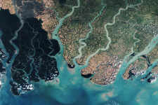
To support emergency response efforts, the International Centre for Integrated Mountain Development (ICIMOD) has mapped the extent of floods in Bangladesh following Cyclone Amphan, which caused widespread damage in the country and neighboring India in mid-May. The maps are based on Sentinel-1 radar imagery. Radar… Read more
Satellite(s) and sensor(s) used:Country/Region mentioned: - 04/06/2020Regional Support Offices involved: Bureau Régional d'Appui du Pakistan
The Space Application Centre for Response in Emergency and Disasters (SACRED) of the Space & Upper … Read more
Country/Region mentioned:
News from the community
- 16/06/2020
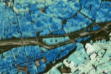
The Munich Technical University (TUM) and the German Aerospace Center (DLR) have launched a new initiative focussing on the development of artificial intelligence technologies in Earth observations. The Future Lab “Artificial Intelligence for Earth Observation: Reasoning, Uncertainties, Ethics and Beyond” (AI4EO) aims to use satellite data and Big Data analyses to create… Read more
Country/Region mentioned: - New studies use ground-based, satellite and AI technologies to improve volcanic eruption forecasting02/06/2020
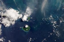
Most of the volcanic activities are rapidly evolving phenomena, and thus, hard for volcanologists and disaster management agencies to monitor and predict. In the last four decades, however, due to the proliferation of new and innovative instruments and techniques, scientists have made progress in forecasting… Read more
Satellite(s) and sensor(s) used:Country/Region mentioned:
