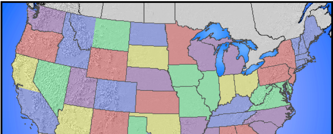
Daily Georeferenced MODIS Images (USDA)

| Data provided by: | United States Department of Agriculture (USDA) |
| Data accessibility: | export data |
| Link to the data: | |
| Data type: | satellite data or aerial image |
| Disaster cycle phase: | Disaster Risk Management |
| Spatial coverage: | Northern America, United States of America |
| Temporal coverage: | Near-real time |
| Costs: | free |
| Contact: | Contact |
| Restrictions/ Citation of the dataset: | Daily MODIS imagery subsets are generated from MODIS direct readout data acquired by the USDA Forest Service Remote Sensing Applicatons Center, University of Wisconsin Space Science and Engineering Center, and the NASA Goddard Space Flight Center Direct Readout Laboratory. |

