![]()
United
Nations
Land Cover Map (GlobeLand 30 - NGCC)
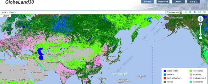
| Data provided by: | National Geomatics Center of China |
| Data accessibility: | export data |
| Link to the data: | |
| Requirements: | Registration necessary |
| Data type: | land use, land cover data |
| Disaster cycle phase: | Disaster Risk Management |
| Spatial coverage: | Global |
| Spatial resolution: | 30.00 m |
| Temporal coverage: | Archive |
| Content dates: | 2000-2010 |
| Technical Specifications: | |
| Costs: | free |
Provider
![]()