Skip to main content
English
Español
Français
United
Nations
Office for Outer Space Affairs
UN-SPIDER Knowledge Portal
Search
Home
About Us
What is UN-SPIDER?
About UNOOSA
Publications
Jobs
Meet the Team
Contact
Space Application
Satellite Technology
Emergency Mechanisms
Recovery Mechanisms
International Asteroid Warning Network
Space Mission Planning Advisory Group
International Space Weather Initiative
Space Technologies in the UN
User Stories
Links & Resources
Data Applications
Disaster Recovery
Data Sources
GIS and Remote Sensing Software
Online Learning Resources
Institutions
Risks & Disasters
Disaster Risk Management
Early Warning Systems
Emergency and Disaster Management
Natural Hazards
Sendai Framework
The UN and Disaster Risk Management
The UN and Early Warning
The UN and Disaster Management
Advisory Support
Advisory Missions
Emergency Support
Virtual Advisory Support
Recommended Practices
Training Activities
Practical Uses
Network
Regional Support Offices
GP-STAR
MHEWS
IWG-SEM
Projects
SPEAR
SEWS-D
EvIDENz
Flood GUIDE
CommonSpace Initiative
Tonga Pilot Project
News & Events
News
Events Calendar
UN-SPIDER Events Archive
Breadcrumb
Home
Satellite Data, Products and Other Resources
Data Sources
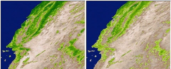
MODIS Vegetation Product (NASA)
MODIS Vegetation Product (NASA)
MODIS Vegetation Product (NASA)
Data provided by:
National Aeronautics and Space Administration (NASA)
Data accessibility:
export data
Link to the data:
Application for Extracting and Exploring Analysis Ready Samples (AppEEARS)
MOD44B: Vegetation Continuous Fields Yearly L3 Global 250m
MYD17A2: Gross Primary Productivity 8-Day L4 Global 1km
MYD15A2: Leaf Area Index - Fraction of Photosynthetically Active Radiation 8-Da…
MOD15A2: Leaf Area Index - Fraction of Photosynthetically Active Radiation 8-Da…
MCD15A3: Leaf Area Index – Fraction of Photosynthetically Active Radiation 4-Da…
MYD13C2: Vegetation Indices Monthly L3 Global 0.05Deg CMG
MYD13C1: Vegetation Indices 16-Day L3 Global 0.05Deg CMG
MYD13A3: Vegetation Indices Monthly L3 Global 1km
MOD13A3: Vegetation Indices Monthly L3 Global 1km
MYD13Q1: Vegetation Indices 16-Day L3 Global 250m
MOD13Q1: Vegetation Indices 16-Day L3 Global 250m
MYD13A2: Vegetation Indices 16-Day L3 Global 1km
MOD13A2: Vegetation Indices 16-Day L3 Global 1km
MYD13A1: Vegetation Indices 16-Day L3 Global 500m
MOD13A1: Vegetation Indices 16-Day L3 Global 500m
DAAC MODIS Land subset products (NDVI, EVI, LAI, NPP, LST, FPAR, SREF, ET, BRDF…
250-meter MODIS/NDVI Time Series Database from the Global Agriculture Monitorin…
Data type:
hazard specific data
Hazard:
Drought
Disaster cycle phase:
Disaster Risk Management
Satellites and Sensors:
Aqua
,
Terra
Spatial coverage:
Global
Spatial resolution:
250.00
Temporal coverage:
Archive, Near-real time
Content dates:
2000 - today
Technical Specifications:
MODIS Land Collection 5 Changes
Costs:
free
Tutorials on the use of data:
How to interpret and use MODIS QA information in the Vegetation Indices product…
Provider