![]()
United
Nations
Reference Data Portal for Global Land Cover Maps (GOFC-GOLD, ESA, CEOS)
| Data provided by: | Global Observation of Forest and Land Cover Dynamics (GOFC-GOLD), European Space Agency (ESA), Committee on Earth Observation Satellites (CEOS) |
| Data accessibility: | export data |
| Link to the data: | |
| Data type: | land use, land cover data |
| Hazard: | Forest Fire, Drought, Extreme Temperature |
| Disaster cycle phase: | Disaster Risk Management, Response, Recovery |
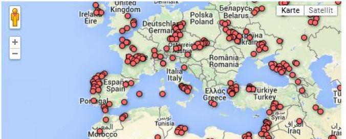
| Spatial coverage: | Global |
| Spatial resolution: | 1 km |
| Temporal coverage: | Archive |
| Content dates: | 2000 - 2013 |
| Costs: | free |
| Restrictions/ Citation of the dataset: | Important note: this dataset is suitbable for training, not for validation since the samples do not follow a probability sampling scheme. |
Provider
![]()