![]()
United
Nations
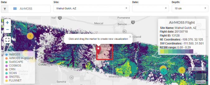
Soil Moisture Visualizer (SMV - ORNL)
| Data provided by: | Oak Ridge National Laboratory (ORNL) |
| Data accessibility: | export data, visualization of data (e.g. web GIS or real time monitoring) |
| Link to the data: | |
| File type: | csv |
| Data type: | hazard specific data, land use, land cover data, satellite data or aerial image |
| Hazard: | Drought, Mass Movement, Flood, Extreme Temperature |
| Disaster cycle phase: | Disaster Risk Management, Response, Recovery |
| Spatial coverage: | Northern America |
| Temporal coverage: | Archive, Near-real time |
| Costs: | free |
| Tutorials on the use of data: | Soil Moisture Visualizer Guide |
Provider
![]()