This database provides descriptions of a large variety of software for the processing and analysis of space-based information. You can search the database by criteria such as software type, data format and operating system. As the database includes applications of varying technical complexity, it is also possible to select only those that do not require programming skills and have a graphical user interface.
Software type:
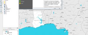
Desktop image processing (remote sensing software - raster data)
Costs:
Free
Operating System:
Windows, Linux
Software type:
Desktop image processing (remote sensing software - raster data)
Costs:
Free
Operating System:
Windows
Software type:
Desktop image processing (remote sensing software - raster data)
Costs:
Free
Operating System:
Windows, Linux, Online
Software type:
Desktop image processing (remote sensing software - raster data)
Costs:
Free to try
Operating System:
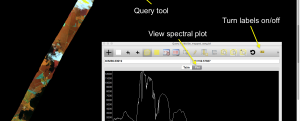
Software type:
Extension
Costs:
Free
Operating System:
Windows, Linux
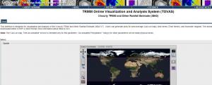
Software type:
Web processing (cloud computing)
Costs:
Free
Operating System:
Software type:
Extension
Costs:
Free
Operating System:
Windows, Linux
Software type:
Tool/Converter
Costs:
Free
Operating System:
Windows, MacOSX, Linux
Software type:
Desktop image processing (remote sensing software - raster data)
Costs:
Free
Operating System:
Windows, Linux
Software type:
Extension
Costs:
Free
Operating System:
Windows, MacOSX, Linux, UNIX
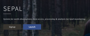
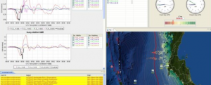
Software type:
Web processing (cloud computing)
Costs:
Free
Operating System:
Online
Software type:
Web processing (cloud computing)
Costs:
Free
Operating System:
Online