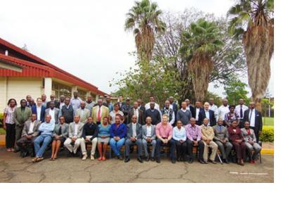
On Thursday June 4th a one-day workshop on the “Use of Modis Data for Early Warning, Disaster Risk Reduction (DRR) and Environmental Monitoring” was held in Kasarani (Nairobi) by the Regional Centre for Mapping of Resources for Development (RCMRD), UN-SPIDER's Regional Support Office in Kenya.
The stakeholders workshop’s aims were the following ones:
- The creation awareness of the data streams received and products generated through the Moderate Resolution Imaging Spectro-radiometer (MODIS) antennae;
- The demonstration of the role of near real-time data synthesis and product dissemination;
- Focus on a product on near real-time fire detection; dissemination of the service; crop and pasture; and flood forecasting.
This workshop is the result of a project between RCMRD and Google Foundation, SERVIR Africa, NASA and USAID in order to procure, install, and build capacity for MODIS direct readout antenna. Google Foundation awarded a grant to RCMRD while CSIR and NASA provided capacity building and technology transfer, as well as the installation of the pre-processing tools for Earth Observation data.
MODIS is a crucial tool aboard the NASA owned Terra and Aqua satellites. Terra MODIS and Aqua MODIS are viewing the entire Earth’s surface every 1 to 2 days, acquiring data in 36 spectral bands, or groups of wavelengths necessary to enhance the understanding of global dynamics and processes occurring on the land, in the oceans, and in the lower atmosphere.
MODIS enables RCMRD to make a proper prediction about global change to assist policy makers in making sound decisions regarding the protection of the environment. The antennae is intended to offer real time satellite data to facilitate sustainable and reliable crop and pasture monitoring, flood and fire early warning services for Eastern and Southern African Regions.

