Advancing Disaster Preparedness and Response in Southern Africa
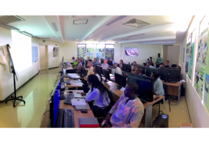
Pretoria, South Africa, 15–19 September 2025 – UN-SPIDER cooperated with the Center for Remote Sensing of Land Surfaces (ZFL) of the University of Bonn, the South African National Space Agency (SANSA) and the International Disasters Charter, who co-organized a week-long training on the International Charter: Space and Major Disasters.
The training brought together more than 25 participants from Eswatini, Kenya, Madagascar, Mozambique, and Botswana alongside disaster management and space professionals from South Africa. The event opened with introductory presentations by representatives from the European Space Agency (ESA), SANSA, ZFL and UN-SPIDER, providing an overview of their respective work, including the importance of the Charter’s mission and how it supports disaster response worldwide.


")


 spread across Tanzania, drawn from a combination of census data and satellite imagery. Image: Facebook.")

; UNOOSA Director Ms. Simonetta Di Pippo; and Prof. Klaus Greve from the Centre for Remote Sensing of Land Surfaces (ZFL) at the University of Bonn.")
; UNOOSA Director Ms. Simonetta Di Pippo; and Prof. Klaus Greve from the Centre for Remote Sensing of Land Surfaces (ZFL) at the University of Bonn.")


 data. Image: Copernicus")