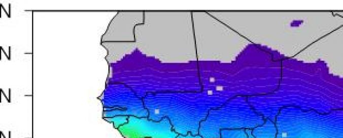
Data Discovery Portal (WASCAL)

| Data provided by: | West African Science Service Center on Climate Change and Adapted Land Use (WASCAL) |
| Data accessibility: | Exportar datos, Exportar mapa, Datos estadísticos (ej. gráficos) |
| Link to the data: | |
| Data type: | Línea base, Datos sobre amenazas específicas, Datos sobre el use suelo, cobertura del terreno |
| Hazard: | Drought, Epidemic, Extreme Temperature, Flood, Forest Fire, Insect Infestation, Pollution, Severe Storm |
| Disaster cycle phase: | Gestión des Riesgo por Desastres, Respuesta, Recuperación |
| Spatial coverage: | Africa, Burkina Faso, Ghana |
| Temporal coverage: | Archivado |
| Costs: | Gratis |
| Tutorials on the use of data: | WASCAL data available for Ghana |
| Restrictions/ Citation of the dataset: |

