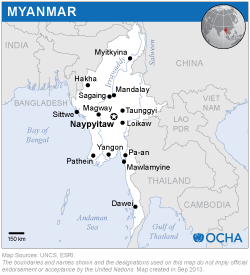
The ISM included a training programme that was jointly conducted with the United Nations Human Settlements Programme (UN-Habitat) and the Centre for Space Science and Technology Education in Asia and the Pacific in collaboration with the Ministry of Social Welfare, Relief and Resettlement of Myanmar; the Myanmar Engineering Society; and the Myanmar Earthquake Committee. It was hosted at Yangon Technological University and attended by 40 participants from various organizations. The training course included theory-based and interactive sessions, which covered topics such as the role of Earth observation in providing critical information and rapid mapping during and following earthquakes; visual interpretation, object-oriented segmentation and classification to facilitate change detection based on very high-resolution satellite imagery; semi-automated techniques to extract information on buildings and other infrastructure and integrating it with population and risk data to evaluate casualties and losses; crowd-source platforms to use Earth observation to perform rapid assessment; and advanced techniques to access satellite images during emergencies.

