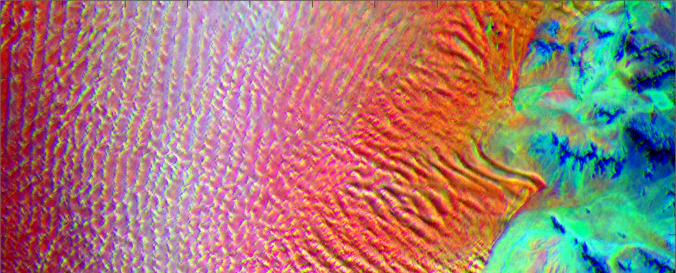
ECOsystem Spaceborne Thermal Radiometer Experiment on Space Station (ECOSTRESS-NASA)

| Data accessibility: | Exportar datos |
| Link to the data: | |
| Data type: | Datos satelitales o imágenes aéreas |
| Disaster cycle phase: | Gestión des Riesgo por Desastres, Respuesta, Recuperación |
| Satellites and Sensors: | ECOSTRESS |
| Spatial coverage: | Global |
| Spatial resolution: | 70 m |
| Temporal coverage: | Archivado, Casi en tiempo real |
| Content dates: | July 2018-present |
| Technical Specifications: | |
| Costs: | Gratis |
| Tutorials on the use of data: | How to access ECOSTRESS data, Working with ECOSTRESS Evapotranspiration data, Accessing, Processing, and Analyzing ECOSTRESS Data |

