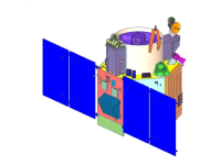
Cartosat-3 satellite is a third generation agile advanced satellite having high resolution imaging capability. Cartosat-3 will address the increased user’s demands for large scale urban planning, rural resource and infrastructure development, coastal land use and land cover etc.
