![]()
United
Nations
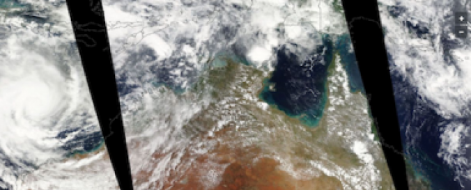
Near Real-Time data related to Severe Storms (LANCE - NASA)
| Data provided by: | National Aeronautics and Space Administration (NASA) |
| Data accessibility: | Exportar datos, Exportar mapa, Visualización de datos (ej. web SIG o monitoreo en tiempo real) |
| Link to the data: |
|
| Data type: | Datos sobre amenazas específicas |
| Hazard: | Flood, Severe Storm |
| Disaster cycle phase: | Gestión des Riesgo por Desastres, Respuesta, Recuperación |
| Space-based Information: | MODIS/Aqua, MODIS/Terra |
| Spatial coverage: | Global |
| Spatial resolution: | 1000.00 |
| Temporal coverage: | Archivado, Casi en tiempo real |
| Content dates: | MODIS/Aqua Start Date: 2002-07-04; MODIS/Terra Start Date: 2001-03-06 |
| Technical Specifications: | |
| Costs: | Gratis |
| Contact: | Contacts |
| Tutorials on the use of data: | Coprehensive examples about how to access and visualize NASA .hdf files |
| Restrictions/ Citation of the dataset: |
Nasa Web Privacy Policy and Important Notices Publication/References --> Check "Publication/References" section here Use Constraints --> Check "Use Constraints" section here |
Provider
![]()