![]()
United
Nations
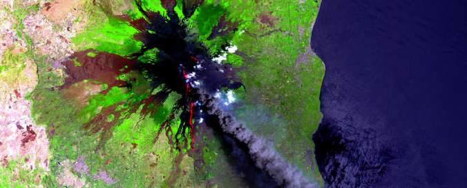
SPOT Imagery (CNES)
| Data provided by: | Centre National d'Etudes Spatiales (CNES) |
| Data accessibility: | Exportar datos |
| Link to the data: |
|
| Requirements: | ESA gives the opportunity to get a limited amount of restrained products for free upon the submission of a project proposal. |
| Data type: | Datos satelitales o imágenes aéreas |
| Hazard: | Forest Fire, Drought, Mass Movement, Earthquake, Tsunami, Volcanic Eruption, Flood, Severe Storm |
| Disaster cycle phase: | Gestión des Riesgo por Desastres, Respuesta, Recuperación |
| Satellites and Sensors: | SPOT 1, SPOT 4 (HRVIR), SPOT 4, SPOT 5 (HRG), SPOT 5, SPOT 6 |
| Spatial coverage: | Global |
| Spatial resolution: | 1.00 |
| Temporal coverage: | Archivado |
| Content dates: | February 1986 - present |
| Technical Specifications: | |
| Costs: | De forma gratuita con restricciones |
| Contact: | Contact CNES |
| Restrictions/ Citation of the dataset: | Terms of Use (VITO). General Terms & Conditions (Airbus Defence & Space). Terms and conditions for the utilization of ESA Third Party Missions Data. |
Provider
![]()