![]()
United
Nations

ROSA: Introduction au Traitement de L'Imagerie Satellitaire (Fr.)
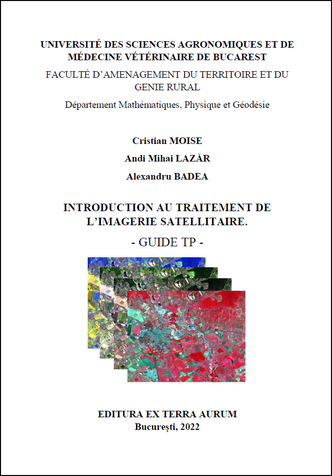 The guide was elaborated by experts from the Romanian Space Agency (ROSA) and the University of Agronomic Sciences and Veterinary Medicine of Bucharest/Department of Geodesy, Mathematics and Physics.
![]()