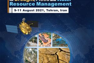
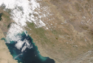
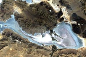
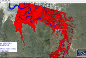
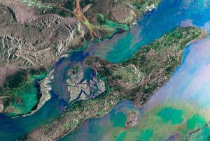
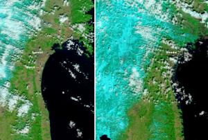
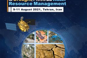
Space-based applications related to Earth Observation and geospatial data play an important role in supporting disaster risk reduction, response and recovery efforts through providing accurate and timely information for decision-makers. Monitoring floods, drought conditions and water resource environments using satellite remote sensing (RS) technologies have become more essential recently, in particular for developing countries.
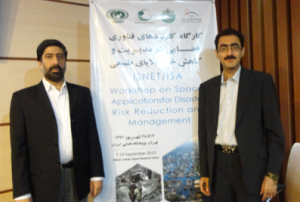
The workshop will be held in Tehran, Iran, from 9 to 11 August 2021, in a virtual format, and will be hosted by the Iranian Space Agency (ISA). The workshop will explore how current space technologies help identify and monitor the effects of a changing climate – including the onset of drought, flash floods, and general water resources conditions as a result of global climate change, in particular on an international and regional scale. The discussions at the workshop will also be linked to the 2030 Agenda for...
more