United
Nations
Office for Outer Space Affairs
UN-SPIDER Knowledge Portal
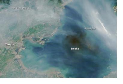
On the morning of August 13 the China Aerospace Science and Technology Corp activated its emergency response mechanism, after the fatal warehouse explosions that hit Tianjin port city. It used at least eight of its satellite constellation to monitor rescue and damage operatins thanks to their clear images.
Specifically, the Gaofen 1 and 2 high-resolution Earth observation satellites, the Ziyuan 3 Earth mapping satellite, the Shijian 9A technology test satellite, the Huanjing 1A low-resolution Earth observation satellite, the CBERS 4 remote sensing satellite, the Fengyun 2G and Fengyun 3B satellites were employed. Additionally, the National Satellite Meteorological Center also mobilized its weather satellites. They captured images in order to detect fires in the blast zones and sent them to government departments in order to carry out damage evaluation and support rescue activities.
According to an anonymous space expert, "Earth observation satellites have many types of imaging devices, so compared with other observation platforms they are more resistant to bad weather and can obtain high-definition pictures through smoke caused by the blasts."
