![]()
United
Nations
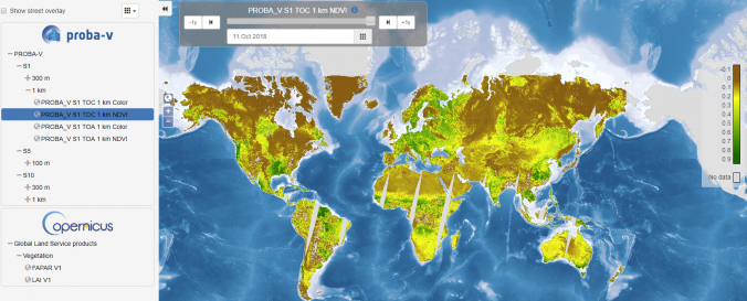
PROBA-V (VITO)
| Data provided by: | VITO |
| Data accessibility: | Exportar datos, Exportar mapa |
| Link to the data: | |
| Data type: | Línea base, Datos sobre amenazas específicas, Datos sobre el use suelo, cobertura del terreno, Datos satelitales o imágenes aéreas |
| Hazard: | Epidemic, Insect Infestation, Forest Fire, Drought, Earthquake, Tsunami, Flood, Extreme Temperature |
| Disaster cycle phase: | Gestión des Riesgo por Desastres, Respuesta, Recuperación |
| Space-based Information: | The Proba-Vegetation mission provides information on vegetation, including crop yield and drought, based on PROBA-V and Sentinel-3 data. |
| Satellites and Sensors: | Proba-V |
| Spatial coverage: | Global |
| Spatial resolution: | Global |
| Temporal coverage: | Archivado, Casi en tiempo real |
| Content dates: | 2013 - Present |
| Technical Specifications: | |
| Costs: | Gratis |
| Contact: | Dirk Fransaer |
| Tutorials on the use of data: | User manual |
Provider
![]()