![]()
United
Nations
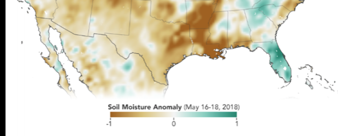
Soil Moisture Active Passive (SMAP - NASA)
| Data provided by: | National Aeronautics and Space Administration (NASA) |
| Data accessibility: | Exportar datos, Exportar mapa, Visualización de datos (ej. web SIG o monitoreo en tiempo real) |
| Link to the data: | |
| Requirements: | Registration or Python (2 or 3) required to download the data |
| Data type: | Datos sobre amenazas específicas |
| Hazard: | Drought, Flood, Extreme Temperature |
| Disaster cycle phase: | Gestión des Riesgo por Desastres, Respuesta, Recuperación |
| Satellites and Sensors: | SMAP |
| Spatial coverage: | Global |
| Temporal coverage: | Archivado |
| Technical Specifications: | |
| Costs: | Gratis |
| Contact: | User information service |
| Tutorials on the use of data: | SMAP Data Products and Applications, 4th SMAP Applications Workshop and Tutorial, Knowledge Base, SMAP Handbook |
| Restrictions/ Citation of the dataset: | Citation Required |
Provider
![]()