![]()
United
Nations
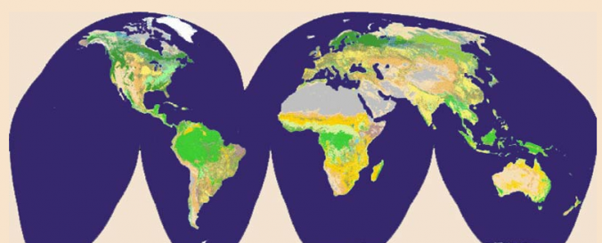
Land Cover Map (LCI - USGS)
| Data provided by: | United States Geological Survey (USGS) |
| Data accessibility: | Exportar datos, Exportar mapa |
| Link to the data: | |
| Data type: | Datos sobre el use suelo, cobertura del terreno |
| Disaster cycle phase: | Gestión des Riesgo por Desastres |
| Satellites and Sensors: | Landsat 4 |
| Spatial coverage: | Global, Africa, Latin America and the Caribbean, Northern America, Asia, Europe, Oceania |
| Spatial resolution: | 15.00 |
| Temporal coverage: | Archivado, Casi en tiempo real |
| Content dates: | 1972-present |
| Costs: | Gratis |
| Restrictions/ Citation of the dataset: |
Provider
![]()