![]()
United
Nations
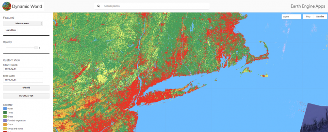
Dynamic World (Google, WRI)
| Data provided by: | Google, World Resources Institute (WRI) |
| Data accessibility: | export data, visualization of data (e.g. web GIS or real time monitoring), web processing/cloud computing |
| Link to the data: | |
| File type: | GeoTIFF |
| Data type: | baseline data |
| Hazard: | Drought, Forest Fire, Mass Movement, Landslide, Flood |
| Disaster cycle phase: | Disaster Risk Management, Response, Recovery |
| Satellites and Sensors: | Sentinel-2A, Sentinel-2B |
| Spatial coverage: | Global |
| Spatial resolution: | 10 |
| Temporal coverage: | Near-real time |
| Technical Specifications: | |
| Costs: | free |
| Restrictions/ Citation of the dataset: | This data is available under a Creative Commons BY-4.0 license and requires the following attribution: This dataset is produced for the Dynamic World Project by Google in partnership with National Geographic Society and the World Resources Institute. |
Provider
![]()