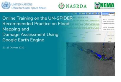
UN-SPIDER and its Regional Support Office in Nigeria, the National Space Research and Development Agency (NASRDA), conducted an online training on the UN-SPIDER Recommended Practice on Flood Mapping and Damage Assessment Using Sentinel-1 SAR Data in Google Earth Engine. Staff from NASRDA as well as from the National Emergency Management Agency (NEMA) of Nigeria participated in the training, which consisted of three two-hour-long online sessions between 21 and 23 October.
The training aimed overall at highlighting the importance and usefulness of remote sensing and satellite data as a decision-making tool in risk and disaster management. In particular, it intended to strengthen the understanding of the characteristics of synthetic aperture radar (SAR) imagery and its use for flood mapping in order to support emergency response efforts in Nigeria, which had seen extensive floods in different parts of the country in the preceeding months.
After an introduction to the basic principles of radar remote sensing, which discussed core concepts that are essentinal for the processing and analysis of SAR imagery, participants were taken step-by-step through the UN-SPIDER Recommended Practice on Flood Mapping and Damage Assessment in Google Earth Engine. Without the need for downloading large and complex data, this cloud-based Recommended Practice completes all analysis without taking up hard drive space or processing power of the end-users’ device. By inputting the provided code and simply outlying the region of interest as well as the before and after dates, this methodology quickly provides an estimate of the flood-affected areas. It also makes use of population density data from the Global Human Settlement Layer (GHSL) of the European Commission's Joint Research Centre (JRC) and of the MODIS land cover product to estimate population affected by the floods and damage to urban and agricultural areas, respectively. For a discussion of the strengths and limitations of this approach, please see the related "In Detail" page.
Using the recent floods in Nigeria as case studies, participants successfully made use of this Recommended Practice to create flood layers, which were then exported as shapefiles for further processing in QGIS in order to create maps providing an overview of the flood extends.
A final discussion on the third day of the online training allowed for joint reflection on how this UN-SPIDER Recommended Practice could be used by disaster management stakeholders to inform their response efforts.
With support from its network of Regional Support Offices and other partners, UN-SPIDER has developed 15 Recommended Practices that explain how to download, process and map freely accessible space-based information to address a wide range of natural hazards such as floods, drought and wildfires. The Recommended Practices make use of a variety of programming languages, software solutions and web-based systems such as R, Python, QGIS and Google Earth Engine.

