Overview of the Disaster and Objectives
Disaster Overview
On 28 July 2025, torrential rainfall in Adamawa State, Nigeria caused devastating flooding across Yola North and Yola South. At least 23 people lost their lives, many others were injured or remain missing, and hundreds of families were displaced. Entire communities, including Shagari Low Cost, Sabon Pegi, and Modire Yolde Pate, were severely affected as floodwaters swept through homes and infrastructure.
While heavy rainfall was the immediate trigger, the disaster was compounded by blocked water channels and unregulated construction, which hindered natural drainage. The scale of this tragedy underscored both the vulnerability of urban systems and the urgent need to monitor critical hydraulic infrastructure in the region.
Concerns focused particularly on Kiri Dam in Adamawa State and Dadin Kowa Dam in neighboring Gombe State. The…
more
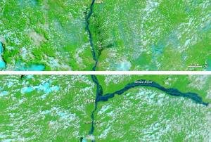
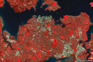
 and the Benue River merge. Image: ESA")
.")
")
")
")
")


.")