![]()
United
Nations


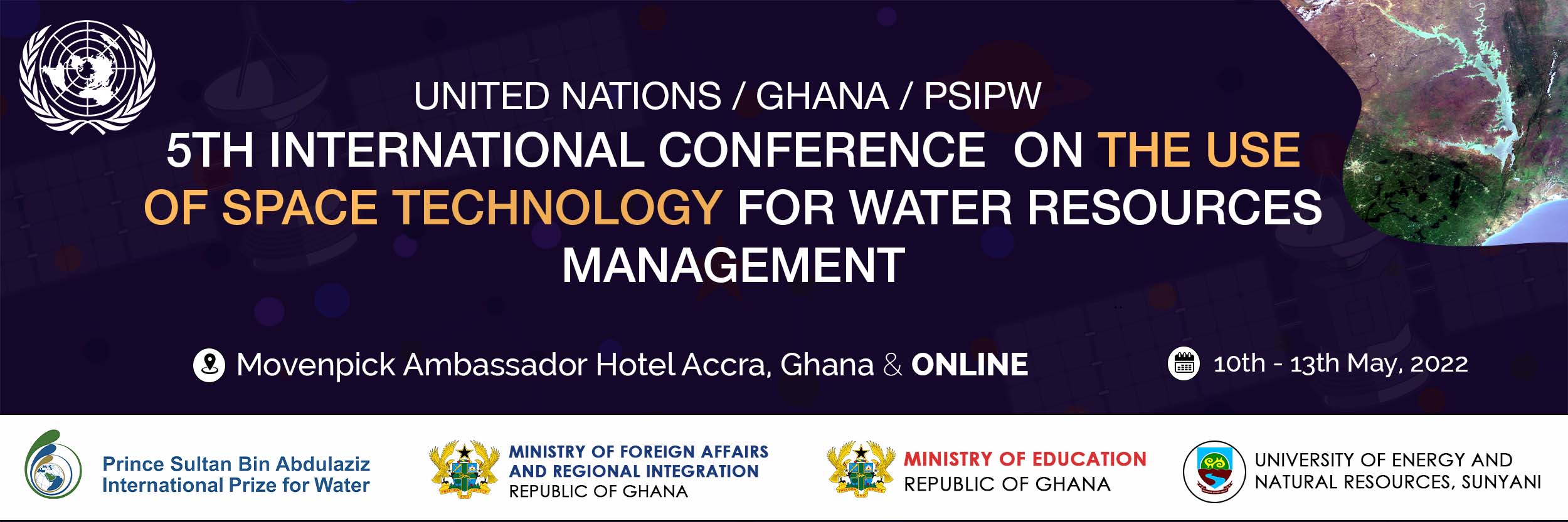
5th International conference on the use of space technology for water resources management
Introduction
The United Nations Office for Outer Space Affairs (UNOOSA) and the Government of Ghana are jointly organizing a Conference with the support of the Prince Sultan Bin Abdulaziz International Prize for Water (PSIPW) to promote the use of space technology in wat
")


![]()