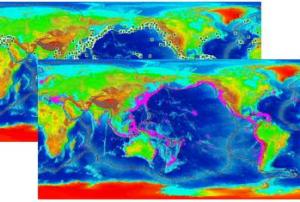
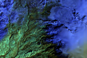
Terra is a multi-national, multi-disciplinary satellite mission involving partnerships with the aerospace agencies of Canada and Japan. Managed by NASA’s Goddard Space Flight Center, the mission also receives key contributions from the Jet Propulsion Laboratory and Langley Research Center. The Terra spacecraft houses five major instruments; three of these – ASTER, MODIS and MISR – have been actively supporting the process of visualizing the disaster in Japan. Together with commercial and international satellite images, Terra instruments are measuring and visualizing earthquake and tsunami damage, and may even provide visualization of heat created by the damaged Fukushima Daiichi nuclear reactors.
In addition to satellite-based imagery, NASA is also developing computer models using real-time GPS data to predict and manage events such as earthquakes and tsunamis. Y. Tony Song and his colleagues at NASA’s…
read more
The Azores archipelago is exposed to different geological and meteorological hazards already responsible for thousands of deaths and severe damages. In order to detect precursory signals and develop early warning systems a multi-parametric monitoring network is under operation. Geophysical, geodetic, geochemical and meteorological independent techniques provide data that are integrated in the scope of a continuous hazard and risk assessment programme to support civil protection regional and local authorities.
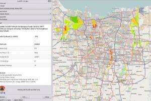
Background: The tsunami disaster in the province of Aceh in December 2004 caused more than 200.000 casualties, 500.000 people became homeless and a lot of infrastructures was destroyed including health facilities. A health facilities assessment was needed to provide detailed information with regards to rehabilitation and reconstruction of health services provision after the disaster. This article aims to describe the process of the rapid assessment, analyse the field results and discussing the use of free GIS software during the whole process.