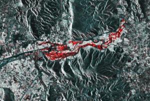
Greek Geographic Information Systems company Geospatial Enabling Technologies (GET) has tested a new crisis management solution based on services rendered through the Copernicus Sentinel Hub after flooding in Farkadona, Greece.
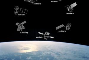
The Copernicus Sentinel Hub, set up by the European Commission and European Space Agency, is a service that provides quick and up-to-date satellite information to be used by authorities. Through the Sentinel-1 satellite in particular, they use radar to track differences between flooded and dry land through before and after images.
In late February, flooding and landslides caused by heavy rainfall affected the Farkadona municipality in central Greece, leading to evacuations and loss of farmland in the region. In response, GET used imagery produced by the Sentinel-1 satellite in a prototypical algorithm that uses the Sentinel...
more