![]()
United
Nations
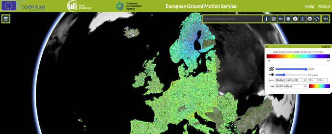
European Ground Motion Service (Copernicus Land Monitoring Service)
| Data provided by: | Copernicus, The European Environment Agency (EEA) |
| Data accessibility: | Exportar datos, Visualización de datos (ej. web SIG o monitoreo en tiempo real) |
| Link to the data: | |
| Data type: | Línea base, Datos sobre amenazas específicas |
| Hazard: | Earthquake, Volcanic Eruption, Subsidence, Mass Movement |
| Disaster cycle phase: | Gestión des Riesgo por Desastres |
| Satellites and Sensors: | Sentinel-1A, Sentinel-1B |
| Spatial coverage: | Europe |
| Spatial resolution: | 20 |
| Technical Specifications: | |
| Costs: | Gratis |
| Tutorials on the use of data: | https://land.copernicus.eu/user-corner/how-to-access-our-data |
| Restrictions/ Citation of the dataset: | The European Ground Motion Service is available to the public, everyone can register on the platform and access the data |
Provider
![]()