![]()
United
Nations
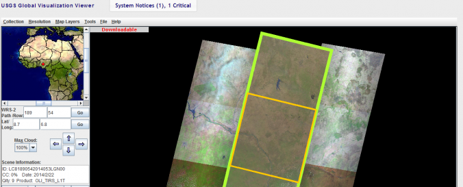
Global Visualization Viewer (USGS)
| Data provided by: | United States Geological Survey (USGS) |
| Data accessibility: | Datos estadísticos (ej. gráficos), Visualización de datos (ej. web SIG o monitoreo en tiempo real), Procesamiento web/computación en la nube |
| Link to the data: | |
| Requirements: | JAVA, Microsoft Windows XP, Vista, 7, 8, and Server, 32-bit and 64-bit, Apple Macintosh OS X 10.7.3 (Lion x64) or greater |
| Data type: | Línea base, Datos sobre el use suelo, cobertura del terreno, Datos satelitales o imágenes aéreas |
| Hazard: | Forest Fire, Drought, Earthquake, Flood, Extreme Temperature, Pollution |
| Disaster cycle phase: | Gestión des Riesgo por Desastres, Respuesta, Recuperación |
| Spatial coverage: | Global |
| Spatial resolution: | 240.00 |
| Temporal coverage: | Archivado, Prognosticado, Casi en tiempo real |
| Content dates: | 1982 to date |
| Technical Specifications: | |
| Costs: | Gratis |
| Tutorials on the use of data: | Quick Start Guide, GLOVIS User Guide |
| Restrictions/ Citation of the dataset: |
Provider
![]()