![]()
United
Nations
-
 Digital Twins and Earth Observation: UN-SPIDER and ZFL Present Flood Mapping Innovations at LPS 2025
 -
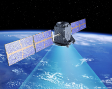
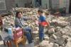
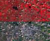
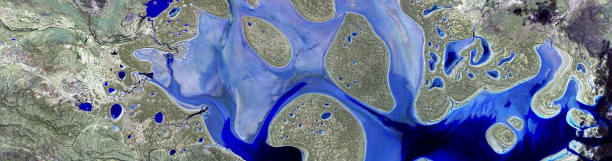 The Recommended Practice was applied during the October 2024 floods in Sri Lanka, demonstrating its value in real-world disaster response.
 -
 UN-SPIDER Expands Global Network with New Regional Support Office in China
-
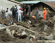
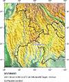
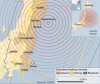
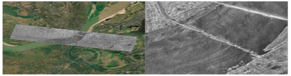 Read more UN-SPIDER's response to the Myanmar earthquake which occurred as the result of strike-slip faulting between the India and Eurasia plates.
 -
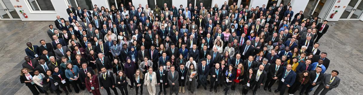 The World Space Forum 2024, organized by UNOOSA in collaboration with Germany, Peru and the United Arab Emirates, has officially opened its doors, setting the stage for three days of transformative discussions on international collaboration and space sustainability.
How can space technology be applied in disaster and risk management?
Where can I access satellite data, products and other resources?
Who are the users of space technology in disaster and risk management?
Which services can UN-SPIDER offer to Member States?
News

Upcoming Events
Our Regional Support Offices


![]()