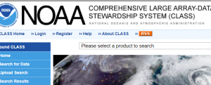
This database provides descriptions of a large variety of satellite imagery, elevation models, land use and land cover maps as well as near real-time data products for different hazard types. You can search the database by data type or hazard as well as by other relevant factors including costs, temporal or spatial coverage, satellite or file types.
When you select a specific country under "spatial coverage", please note that the system will retrieve datasets that are exclusively carrying information for that specific country (and no other country). This means that global datasets, which include information for a particular country of interest as well as for other countries, will not be displayed. As a result, it is recommended to start with a global search.
The results of each search are connected to other items on the UN-SPIDER Knowledge Portal, such as the database of GIS and remote sensing software and the descriptions of natural hazards.
To support Member States in identifying and accessing relevant space-based information, UN-SPIDER also creates booklets that provide an overview of data sources listed on these pages and of particular interest to the countries it is providing technical advisory support to. The following booklets are available:
- Tunisia
- Ethiopia
- Cameroon
Type: baseline data, elevation, hazard specific data, land use, land cover data, satellite data or aerial image
Hazard: Epidemic,
Insect Infestation,
Forest Fire,
Drought,
Mass Movement,
Earthquake,
Tsunami,
Volcanic Eruption,
Flood,
Severe Storm,
Extreme Temperature,
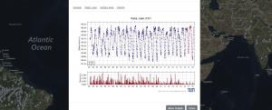
Pollution Format: export data, export map, statistical data (e.g. graphs), visualization of data (e.g. web GIS or real time monitoring), web processing/cloud computing
Type: baseline data, hazard specific data, land use, land cover data
Format: export data, export map, statistical data (e.g. graphs)
Type: hazard specific data
Format: export data, statistical data (e.g. graphs), visualization of data (e.g. web GIS or real time monitoring)
Type: hazard specific data
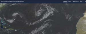
Format: export data, statistical data (e.g. graphs), visualization of data (e.g. web GIS or real time monitoring)
Type: hazard specific data
Format: export data, statistical data (e.g. graphs), visualization of data (e.g. web GIS or real time monitoring)
Hazard: Epidemic,
Insect Infestation,
Forest Fire,
Drought,
Mass Movement,
Earthquake,
Tsunami,
Volcanic Eruption,
Flood,
Severe Storm,
Extreme Temperature,
Pollution Format: export data, export map
Type: hazard specific data, satellite data or aerial image
Format: statistical data (e.g. graphs), visualization of data (e.g. web GIS or real time monitoring)
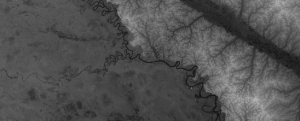
Type: satellite data or aerial image
Format: export data, export map
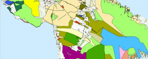
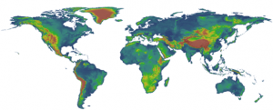
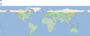
Type: land use, land cover data
Format: export data, statistical data (e.g. graphs), visualization of data (e.g. web GIS or real time monitoring)
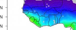
Type: baseline data, elevation, hazard specific data, land use, land cover data, satellite data or aerial image
Format: export data, export map, statistical data (e.g. graphs), visualization of data (e.g. web GIS or real time monitoring)
Type: baseline data, elevation, hazard specific data, land use, land cover data, satellite data or aerial image
Format: export data, export map, statistical data (e.g. graphs), visualization of data (e.g. web GIS or real time monitoring)
Type: baseline data, elevation, hazard specific data, land use, land cover data, satellite data or aerial image
Format: export data, export map, statistical data (e.g. graphs), visualization of data (e.g. web GIS or real time monitoring)
Type: baseline data, elevation, hazard specific data, land use, land cover data, satellite data or aerial image
Format: export data, export map, statistical data (e.g. graphs), visualization of data (e.g. web GIS or real time monitoring)
Format: export data, export map