UN-SPIDER has released a new Recommended Practice that improves flood mapping by integrating Synthetic Aperture Radar (SAR) imagery with Digital Terrain Models (DTMs), offering a more accurate and reliable method for post-disaster assessment.
The methodology was developed in collaboration with the Joint Research Centre (JRC) of the European Commission. It addresses a common limitation of SAR data, which can struggle to detect floodwaters in complex environments such as urban areas, dense vegetation, or regions with varied topography. By combining SAR-derived flood layers with terrain elevation data and the Global Flood Monitoring (GFM) exclusion mask, this new approach provides more precise flood extent mapping and allows for the estimation of water depth.
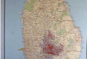
The Recommended Practice was applied during the October 2024 floods in Sri Lanka, demonstrating its value in real-world disaster response. The integration of multiple data sources improved the detection...
more


")
")
")
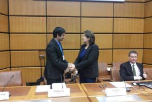
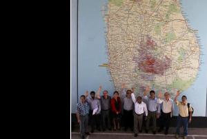
 and Dr Giriraj Amarnath (IWMI) signed a memorandum of understanding making IWMI UN-SPIDER's latest RSO. (Images: Irene Pontisso)")

")
")
, as compared to the same period in 2013.")
")