![]()
United
Nations
Radiant Earth (Radiant Earth Foundation)
| Data provided by: | Radiant Earth Foundation |
| Data accessibility: | export data, export map, statistical data (e.g. graphs), visualization of data (e.g. web GIS or real time monitoring) |
| Data type: | hazard specific data, satellite data or aerial image |
| Hazard: | Epidemic, Harmful Algal Bloom, Insect Infestation, Forest Fire, Drought, Mass Movement, Earthquake, Tsunami, Volcanic Eruption, Flood, Severe Storm, Extreme Temperature, Pollution |
| Disaster cycle phase: | Disaster Risk Management, Response, Recovery |
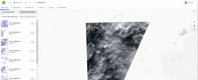
| Space-based Information: | The website: https://www.radiant.earth Help and Tutorials: https://help.radiant.earth/ Demos & Use Cases: https://demos.radiant.earth/ |
| Satellites and Sensors: | Sentinel-1A, Sentinel-2A, Sentinel-3A, WorldView-1, WorldView-2, Landsat 1, Landsat 4, Landsat 7, Landsat 8, Aqua, Terra, QuickBird-2 (BGIS2000), RapidEye, GeoEye-1 / OrbView-5, MetOp-A |
| Spatial coverage: | Global |
| Spatial resolution: | Varying |
| Temporal coverage: | Archive, Forecasted, Near-real time |
| Content dates: | 1985- Present |
| Costs: | free |
| Contact: | Radiant Earth |
| Restrictions/ Citation of the dataset: |
Provider
![]()